Two beaches, one wall, one name
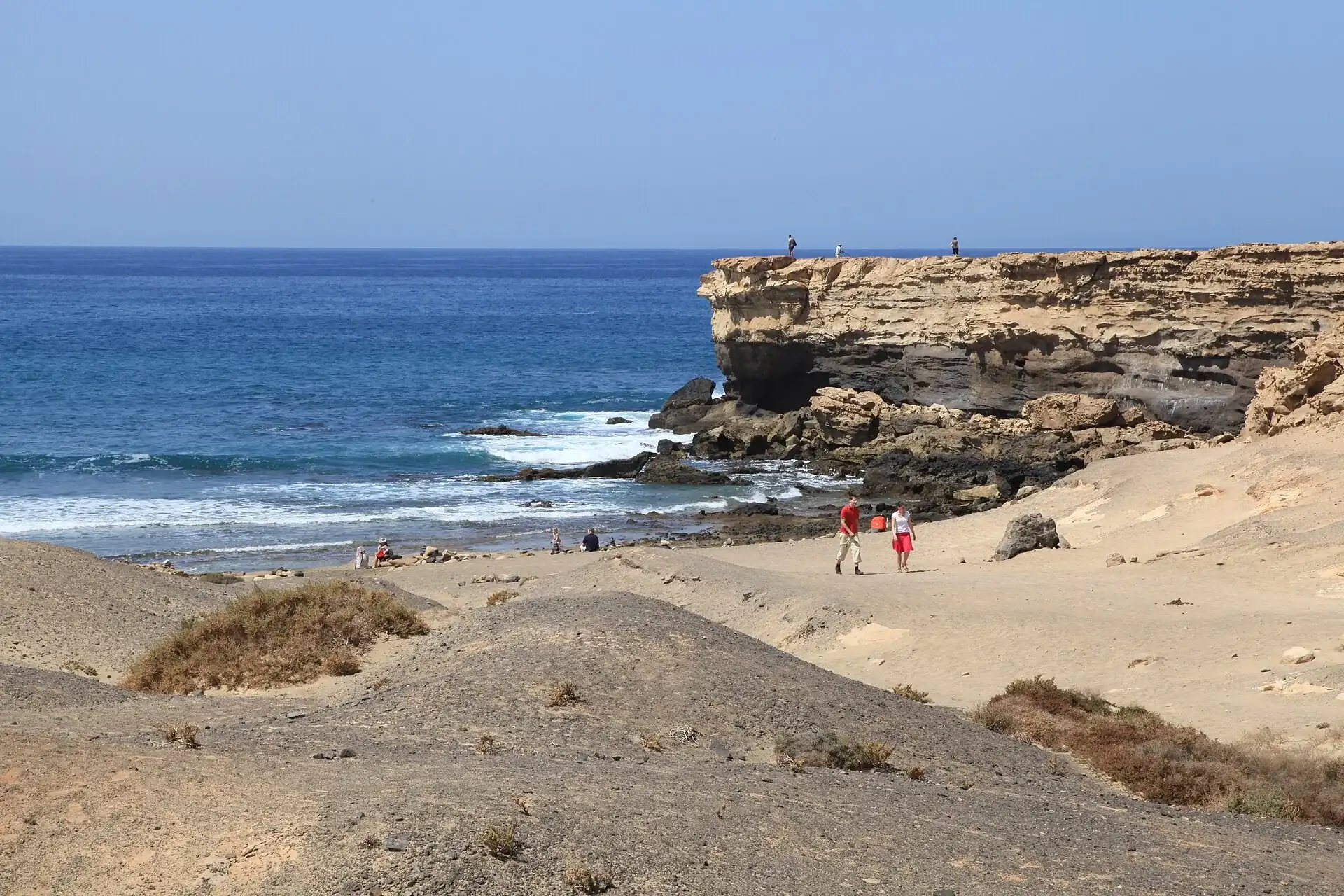
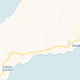
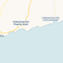
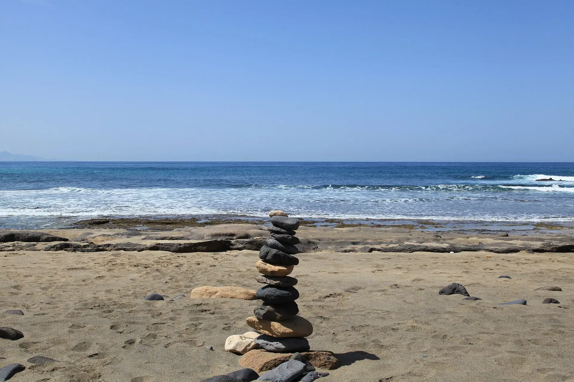
Mention this beach to five different people, and you might get two different answers. Playa de la Pared refers to the shorter, 250-metre cove directly below La Pared village, accessible via a brief unpaved path from the car park near the Bahía La Pared restaurant. Playa del Viejo Rey, a distinct and longer stretch of sand (around 800 metres further south), is reached by its own cliffside staircase, feeling more exposed and considerably quieter. Most surf schools, forecast sites, and even some official guides use these names interchangeably for 'the famous surf beach at La Pared.' Consider this local shorthand rather than a confusing discrepancy.
Both names derive from a tangible historical feature: a stone wall that once spanned this narrow isthmus. Early 15th-century conquest chronicles record it as the boundary between Fuerteventura's two pre-conquest kingdoms, Maxorata in the north and Jandía in the south. Sections, believed to be over a thousand years old, still stand near Matas Blancas. While some archaeologists contend the true kingdom boundary lay further north, closer to the modern airport, and that this wall marked a narrower divide, its existence and ancient origins remain undisputed.